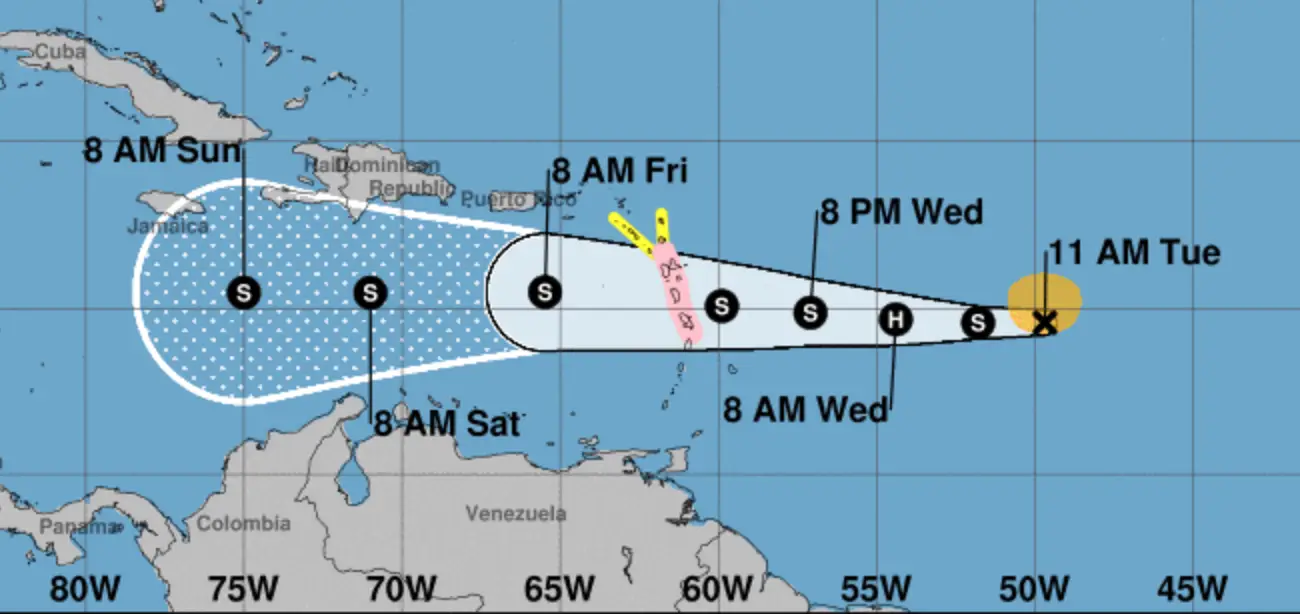
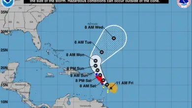
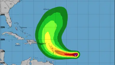
Just as quickly as Isaac turned into a hurricane, it has weakened slightly and is now considered a tropical storm by the National Hurricane Center. A storm is considered a hurricane once maximum sustained winds reach 74 mph. Isaac is currently not far off that level with maximum sustained winds of 70 mph. Here is the current position and projected path of the storm from the NHC (pink = hurricane watch, yellow = tropical storm watch).
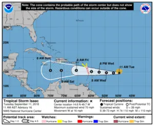
Since our last update on on Sunday, the storm has sped up from 9 mph to it’s current track of 16 mph westward. The system continues to track well south of Saint Martin and, at this time, the island is not currently under any watches or warnings related to this storm.

Form the National Hurricane Center:
SUMMARY OF WATCHES AND WARNINGS IN EFFECT:
A Hurricane Watch is in effect for…
* Guadeloupe
* Martinique
* Dominica
A Tropical Storm Watch is in effect for…
* Antigua and Montserrat
A Hurricane Watch means that hurricane conditions are possible within the watch area. A watch is typically issued 48 hours before the anticipated first occurrence of tropical-storm-force winds, conditions that make outside preparations difficult or dangerous.
A Tropical Storm Watch means that tropical storm conditions are possible within the watch area, generally within 48 hours.
Interests elsewhere in the Leeward Islands should monitor the progress of Isaac as additional watches could be issued this afternoon or evening.
Show your support for Saint Martin/Sint Maarten! Proceeds go directly to assist local residents and communities on the island.

